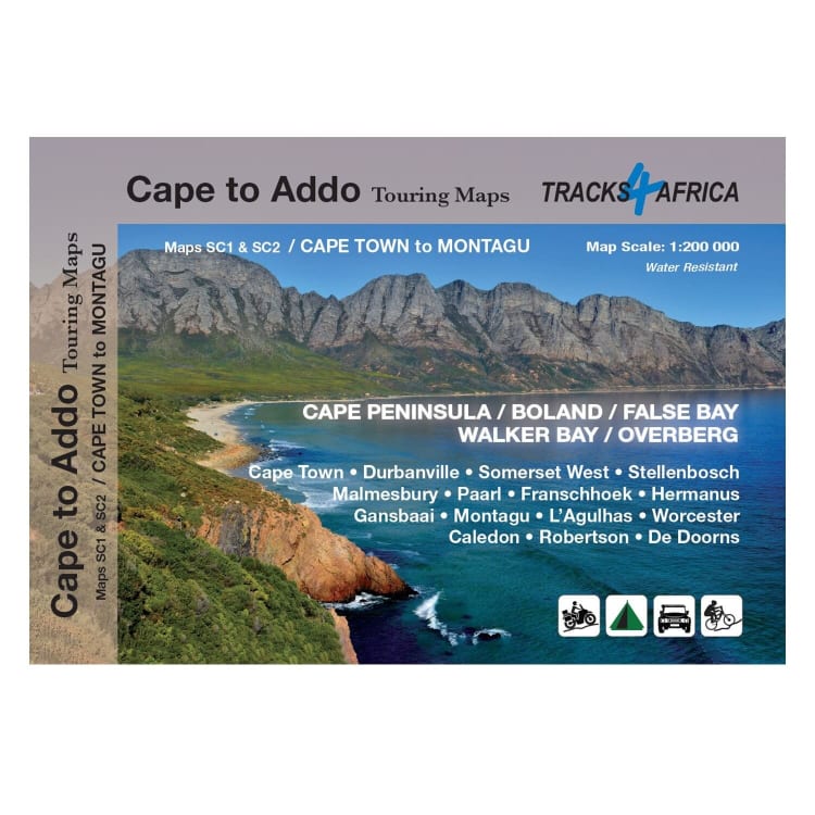
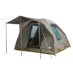
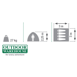
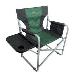
As the name suggests, these two maps stretch from Cape Town in the west to Montagu in the east. The coastline forms the southern boundary and to the north towns such as Malmesbury and Worcester are included. This map is perfect for day trips in and around Cape Town or from the Winelands towns of Stellenbosch, Paarl and Franschhoek. It covers some of the most iconic tourism attractions in the Western Cape which include Cape Point and Table Mountain, Roben Island, the wine routes of the Cape, whale watching along the coast of Hermanus, the southernmost point of Africa, and shark cage diving at Gansbaai.
- Printed on tear proof and water resistant Duraflex
- Scale 1:200 000
- Folded size: 220mm x 153mm
- Map content is aimed at road trips: car, campervan, motorbike, adventure bike, mountain bike and 4WD
- Services such as accommodation, camping, fuel, shopping and restuarants included
- Activities such as whale watching, hikinh, mountain biking and beaches included
- Scenic routes and mountain passes as well as drive times on roads


