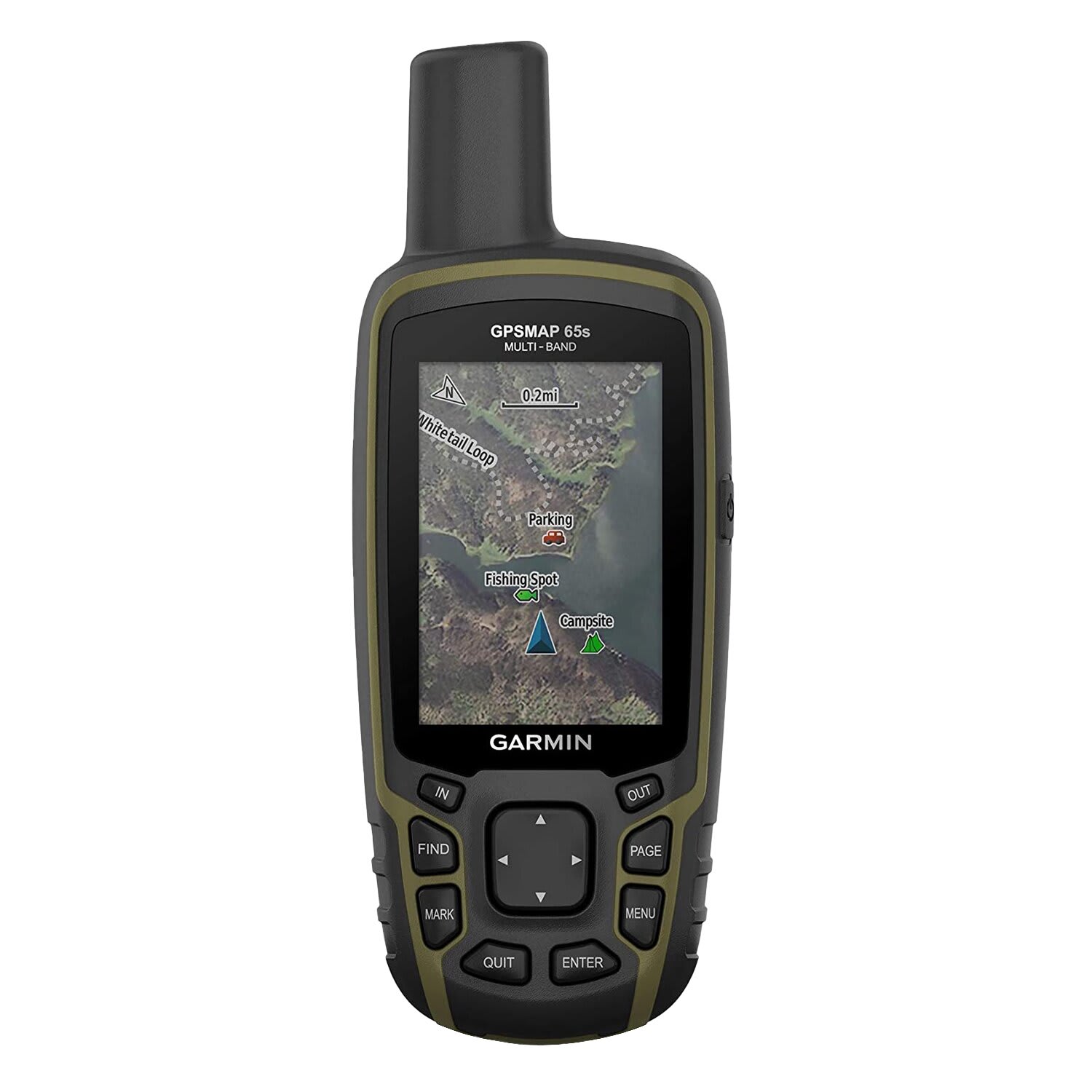

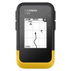
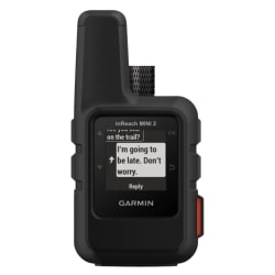
Product Information
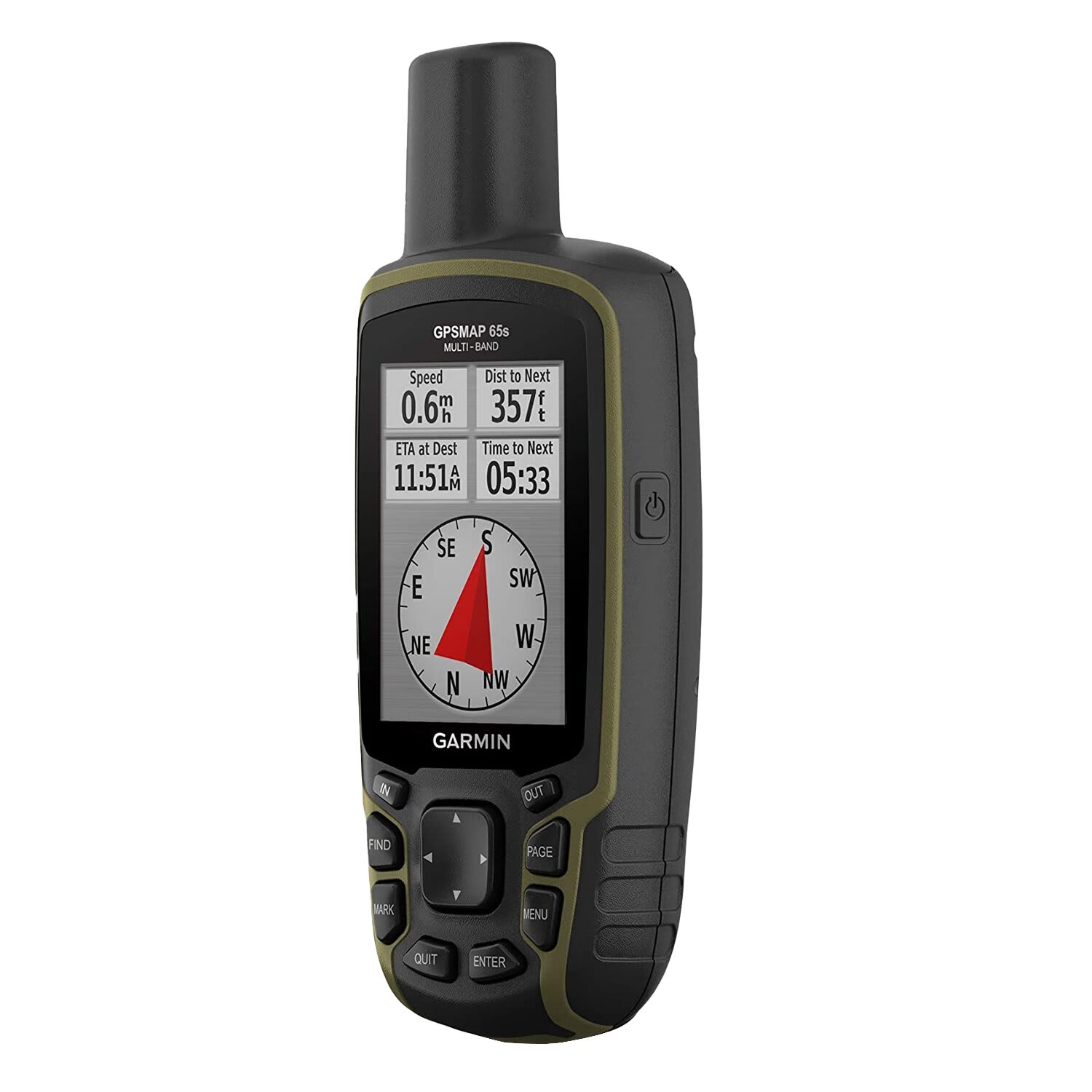
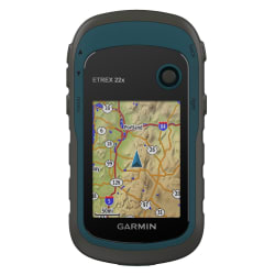
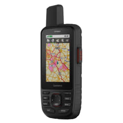
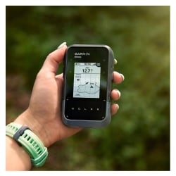
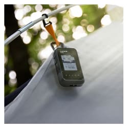
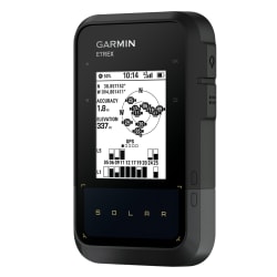
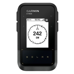
Explore more with this rugged handheld that offers optimal tracking accuracy, a 2.6-inch colour display and preloaded maps.
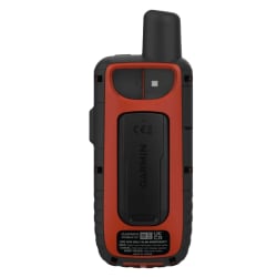
- Large 2.6inch sunlight-readable color display for easy viewing
- Display resolution: 160 x 240 pixels
- Expanded global navigation satellite systems (GNSS) and multi-band technology allow you to get optimal accuracy in challenging locations.
- Includes routable TopoActive mapping and federal public land map
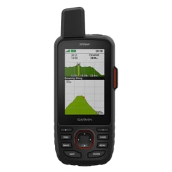
- Go-anywhere navigation with 3-axis compass and barometric altimeter
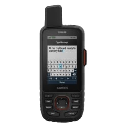
- Compatible with the Garmin Explore website and app (compatible smartphone required) to help you manage tracks, routes and waypoints and review stats
- Multi-band frequency supported maps (TopoActive Africa)
- Memory/history: 16 GB (user space varies based on included mapping)
- Navigate every trail with ABC sensors, including an altimeter for elevation data, barometer to monitor weather and 3-axis electronic compass.
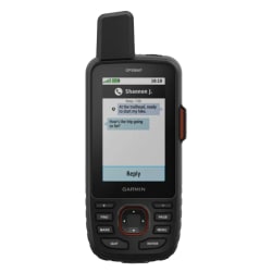
- Smart Notifications:Receive emails, texts and alerts right on your handheld when paired with your compatible device.
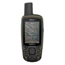
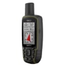
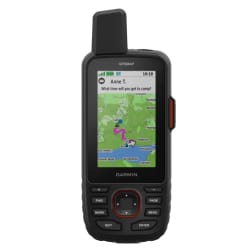
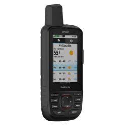
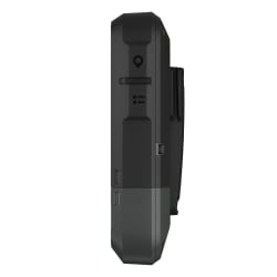
Garmin GPSMAP 65s
1013258
Explore more with this rugged handheld that offers optimal tracking accuracy, a 2.6-inch colour display and preloaded maps.
- Large 2.6inch sunlight-readable color display for easy viewing
- Display resolution: 160 x 240 pixels
- Expanded global navigation satellite systems (GNSS) and multi-band technology allow you to get optimal accuracy in challenging locations.
- Includes routable TopoActive mapping and federal public land map
- Go-anywhere navigation with 3-axis compass and barometric altimeter
- Compatible with the Garmin Explore website and app (compatible smartphone required) to help you manage tracks, routes and waypoints and review stats
- Multi-band frequency supported maps (TopoActive Africa)
- Memory/history: 16 GB (user space varies based on included mapping)
- Navigate every trail with ABC sensors, including an altimeter for elevation data, barometer to monitor weather and 3-axis electronic compass.
- Smart Notifications:Receive emails, texts and alerts right on your handheld when paired with your compatible device.
R 4 999,00


R 3 999,00

R 13 999,00
R 269,00


R 559,00


R 5 999,00


R 8 499,00


R 699,00