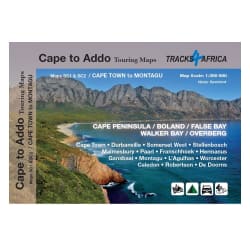

Product Information
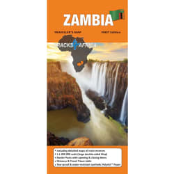
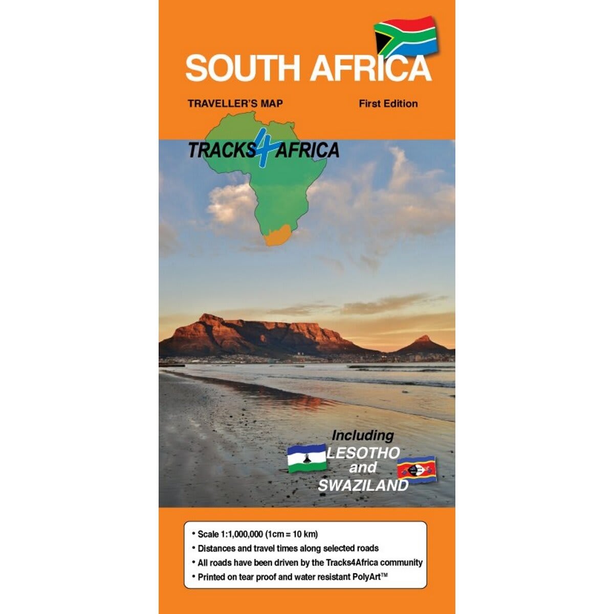
Tracks4Africa maps are built for the self-drive traveller and is packed with information that will enable you to plan your next adventure. The Tracks4AfricaSouth Africa paper map is designed to be used in conjunction with the Tracks4Africa GPS Map of South Africa. The South Africa map also includes Lesotho and Swaziland. The map scale gives you enough detail but also allows for an overview of the country. The map is printed on PolyArt which is tear and water resistant and will survive your adventures with you. This Tracks4Africa paper map series are probably the first comprehensive country maps in the world, offering travel time information for the entire road network, be it on tar, gravel or sand!
- Large 1:1,000,000 scale (large double-sided map)
- Travel times and distances shown on roads
- Large paper map, printed on both sides folds down to easy to use size. Packed in a plastic sleeve for extra protection
- What you see on the paper map is exactly what you get on T4A GPS Maps
- Comprehensive set of roads and tracks in nature reserves
- Map designed to suit the needs of self-drive travellers
- Border crossings indicated with opening and closing times
- Printed on tear and water resistant PolyArt paper suitable for outdoor use
- Shaded relief background
Tracks4Africa South Africa Map 2nd Edition(Incl Swazi & Lesotho)
1004818
Tracks4Africa maps are built for the self-drive traveller and is packed with information that will enable you to plan your next adventure. The Tracks4AfricaSouth Africa paper map is designed to be used in conjunction with the Tracks4Africa GPS Map of South Africa. The South Africa map also includes Lesotho and Swaziland. The map scale gives you enough detail but also allows for an overview of the country. The map is printed on PolyArt which is tear and water resistant and will survive your adventures with you. This Tracks4Africa paper map series are probably the first comprehensive country maps in the world, offering travel time information for the entire road network, be it on tar, gravel or sand!
- Large 1:1,000,000 scale (large double-sided map)
- Travel times and distances shown on roads
- Large paper map, printed on both sides folds down to easy to use size. Packed in a plastic sleeve for extra protection
- What you see on the paper map is exactly what you get on T4A GPS Maps
- Comprehensive set of roads and tracks in nature reserves
- Map designed to suit the needs of self-drive travellers
- Border crossings indicated with opening and closing times
- Printed on tear and water resistant PolyArt paper suitable for outdoor use
- Shaded relief background
R 159,00

R 159,00